
 £28.95Unit price /Unavailable
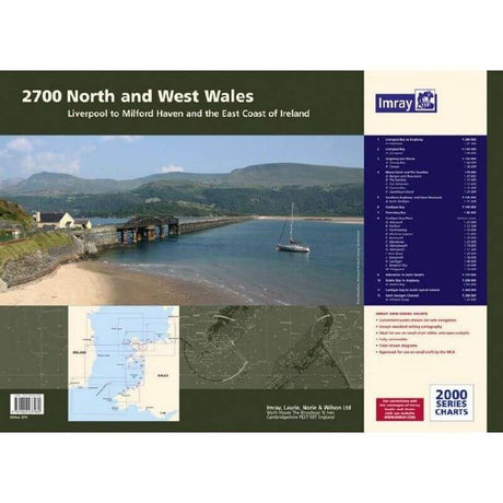
Imray 2700 North and West Wales Chart Pack
£59.95Unit price /Unavailable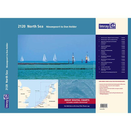 Sold out
Imray 2120 North Sea Nieuwport to Den Helder Chart Pack
£59.95Unit price /Unavailable
Imray 2100 Kent and Sussex Coast Chart Pack
£59.95Unit price /Unavailable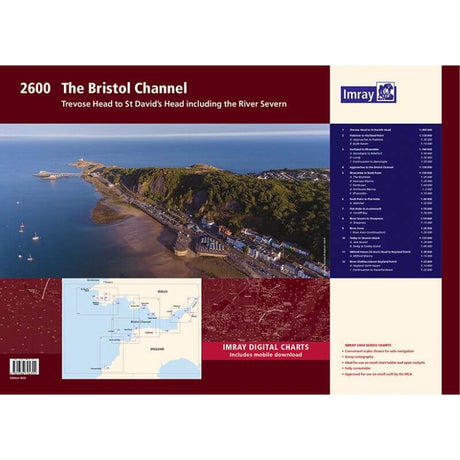
Imray 2600 Bristol Channel Chart Pack
£59.95Unit price /Unavailable Sold out
Weems & Plath Ultralight Divider
£10.99Unit price /Unavailable Sold out£12.99Unit price /Unavailable
 Sold out£22.99Unit price /Unavailable
 £23.50Unit price /Unavailable
Imray Chart M13 Costa Dorada / Denia to Barcelona
£23.95Unit price /Unavailable
Imray Chart C9 Isle of Wight to Beachy Head
£28.95Unit price /Unavailable
Imray Chart C7 Falmouth to Isles of Scilly and to Trevose Head
£28.95Unit price /Unavailable
Imray Chart C6 Salcombe to Lizard Point
£28.95Unit price /Unavailable
Imray Chart C50 Sines to Gibraltar
£28.95Unit price /Unavailable
Imray Chart C5 Portland Bill to Salcombe Harbour
£28.95Unit price /Unavailable
Imray Chart C49 Porto to Sines
£28.95Unit price /Unavailable
Imray Chart C41 Les Sables D'Olonnes to Gironde
£28.95Unit price /Unavailable
 Sold out
Imray Chart C36 Ile D'ouessant / Raz De Sein
£28.95Unit price /Unavailable
Imray Chart C35 Baie De Morlaix to L'Aber Ildut
£28.95Unit price /Unavailable
Imray Chart C33B Channel Island
£28.95Unit price /Unavailable
 Sold out
Imray Chart C32 Baie Seine / Le Havre / Cherbourg
£28.95Unit price /Unavailable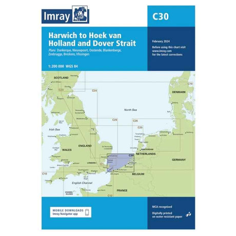
Imray Chart C30 Thames to Holland / Belgium
£28.95Unit price /Unavailable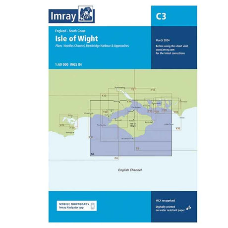 £28.95Unit price /Unavailable
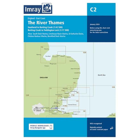
Imray Chart C2 The River Thames
£28.95Unit price /Unavailable
Imray Chart C19 Cape Finisterre to Gibraltar
£28.95Unit price /UnavailableVery low stock (1 unit)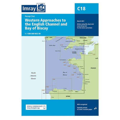
Imray Chart C18 Western Approaches to The Channel (inc Biscay)
£28.95Unit price /Unavailable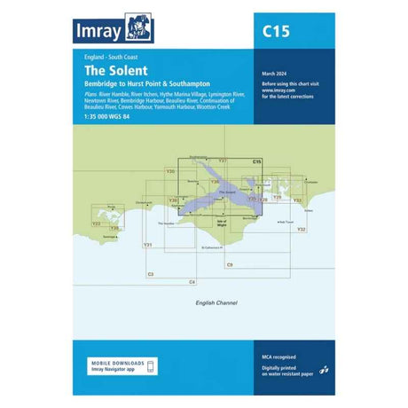 £28.95Unit price /Unavailable
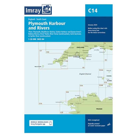
Imray Chart C14 Plymouth Harbour
£28.95Unit price /Unavailable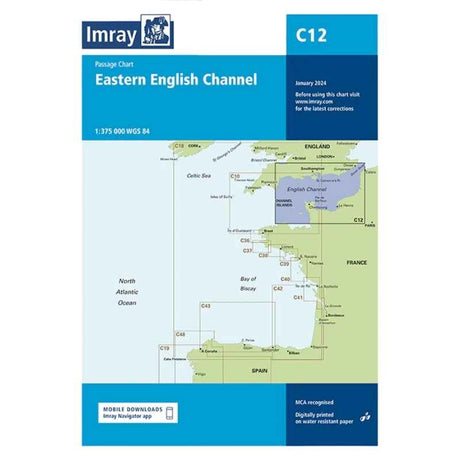
Imray Chart C12 Eastern English
£28.95Unit price /Unavailable
 £28.95Unit price /Unavailable


